|
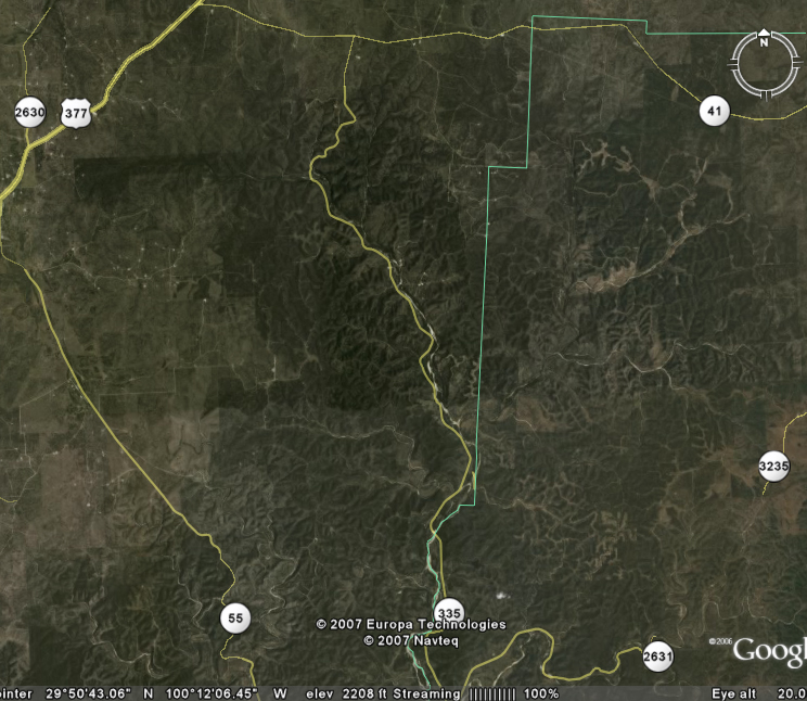
The northern
portion of the Nueces Canyon consists of deeply dissected canyons,
primarily along the Middle Nueces River as well as Hackberry, Bullhead,
and Pulliam Creeks. To the north, the canyon extends to
approximately 4 miles south of TX highway 41 in Edwards County; to the
east the canyons extend well into Real County to the vicinity of Ranch
Roads 336 (not shown) and 3235. To the west, the canyons extend to
about 10 miles east of Rocksprings.
On the map
provides, the small town of Vance is at the extreme southern end of the
map at the jct of Ranch Roads 335 and 2631. The town of
Rocksprings is just to the west of the map at the jct of US highway 377
and TX highway 55. Edwards County is the west of the green line,
while Real County is to the east. |
 |